Site coordinates and location libraries
Map
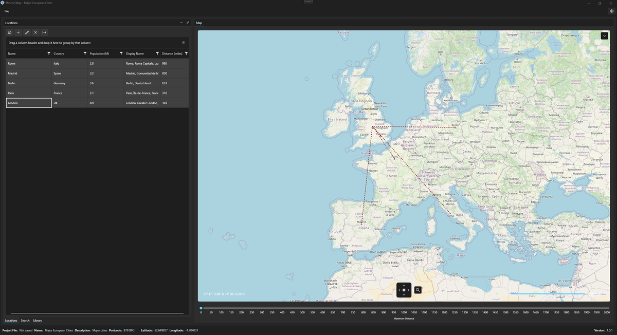
Plot locations, manage coordinate libraries, and create clean datasets. Offline, lightweight, and built for real-world construction workflows.
Site coordinates and location libraries
Plot locations, manage coordinate libraries, and create clean datasets. Offline, lightweight, and built for real-world construction workflows.
Drop points on the map and view accurate latitude and longitude in real time.
Build organised collections of locations for use across projects.
Export plotted points as JSON or CSV datasets, ready for use elsewhere.
A closer look at Map in everyday use.
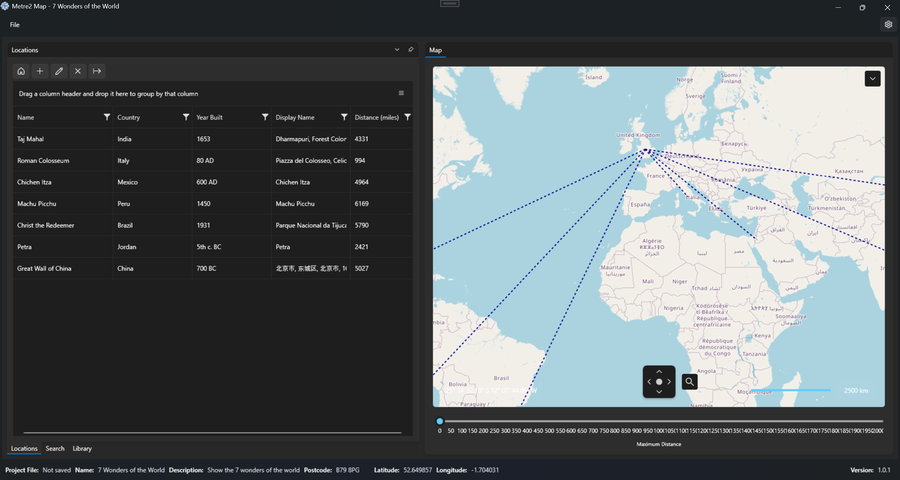
Plotting site coordinates on the map
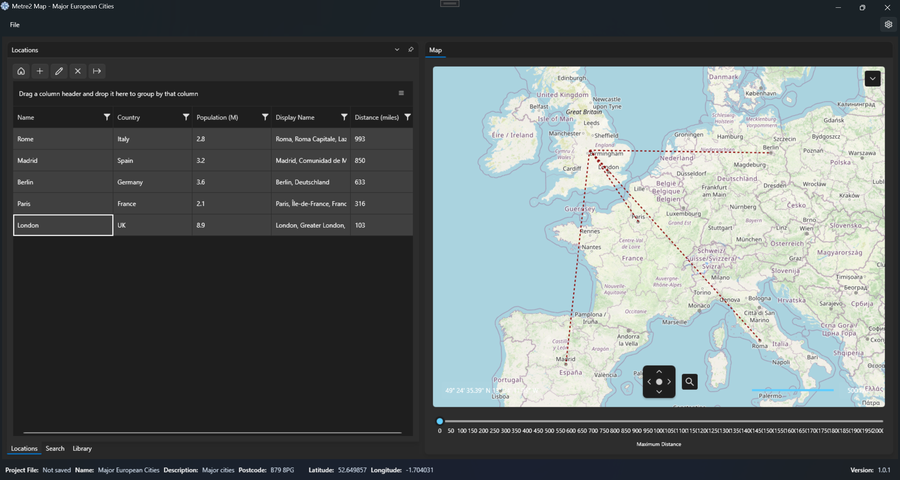
An organised location library
Map is a Windows desktop app, free to try from the Microsoft Store.
Not yet - Map currently uses its own separate sign-in. It's on the list to move onto the same shared account already used by Vector and Forma.
Site and project teams who need to plot, organise and export location data without a heavyweight GIS tool.