How-to guide
Topsoil is stripped before the bulk dig starts and stockpiled for respreading on batters and landscaped areas. It's priced separately, and stripping it changes the bulk volumes: the dig starts 300 mm down, and fill areas need 300 mm more. This guide changes the strip and respread depths on the Hollins Farm sample in Metre2 Earthworks and reads the topsoil balance: 6,442 m³ stripped at 250 mm, 2,295 m³ respread at 200 mm, 4,147 m³ surplus.
Click Strata in the model tree. Topsoil is the first layer: it's stripped over the whole works area, batters included, before the bulk dig.
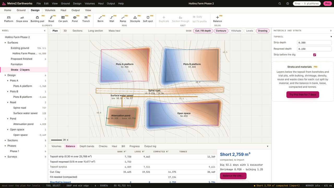
Type the depth to strip: 0.25 m here. The bulk cut is measured from the stripped level, so cut falls and fill rises as the strip gets deeper (here cut 16,252 m³ and fill 16,473 m³).
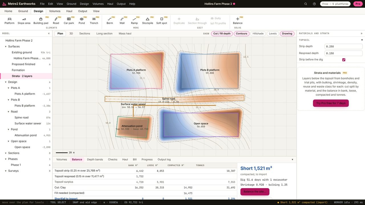
Topsoil is respread on the batters and landscaped areas (slope areas): set the depth, 0.20 m here.
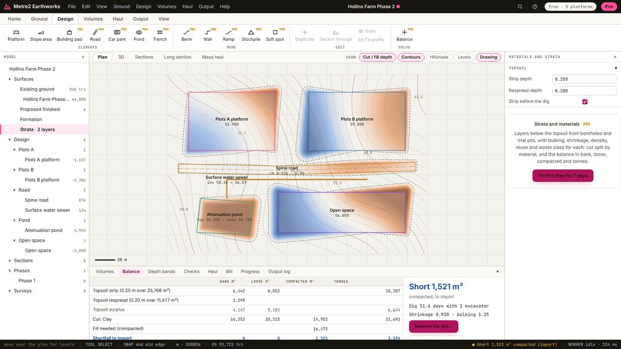
The Balance tab shows the topsoil stripped (6,442 m³ over 25,768 m²), respread (2,295 m³ over 11,477 m²) and the 4,147 m³ surplus, in bank, loose and tonnes, alongside the subsoil balance.
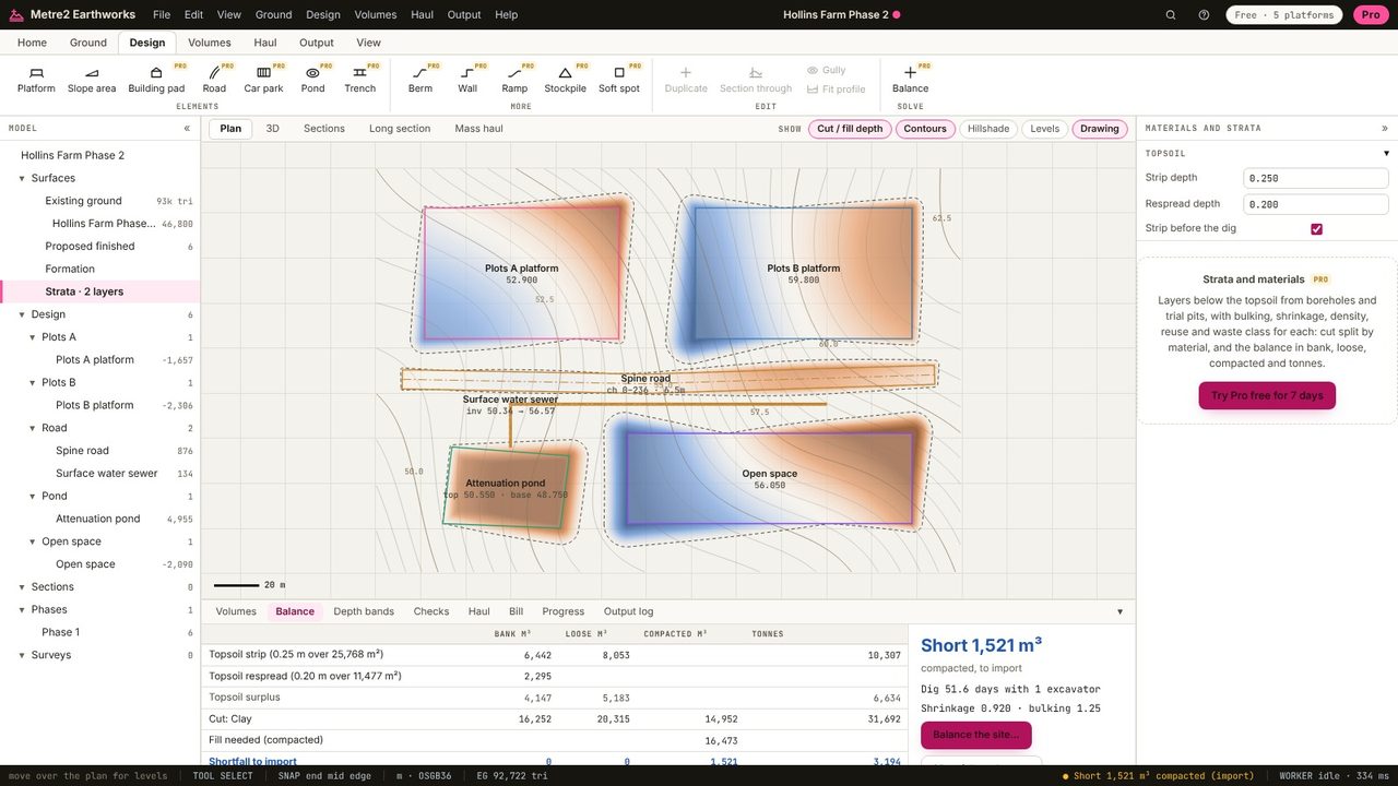
Commonly 150 to 300 mm, set by the site investigation. The default in Earthworks is 300 mm.
Because the bulk dig starts at the stripped level, and fill has to make up the stripped depth before it reaches formation. Earthworks measures the bulk volumes from the stripped ground.
Yes: topsoil at one depth is in the free version. Layers below the topsoil, boreholes and materials are in Pro.
No. Earthworks runs in your browser: survey files, LIDAR tiles and PDF drawings are read on your computer and the project is kept in your browser until you save it as a file.