How-to guide
An attenuation pond is dug from its top of bank down to its base with gentle inside slopes, often 1 in 3 or 1 in 4 for safety. Its excavation and its storage aren't the same thing: the storage is what it holds up to the top water level. This guide lowers the base of the Hollins Farm pond and slackens its sides in Metre2 Earthworks Pro, and reads the section.
Draw a Pond round its top of bank (Design tab) and set the top level.
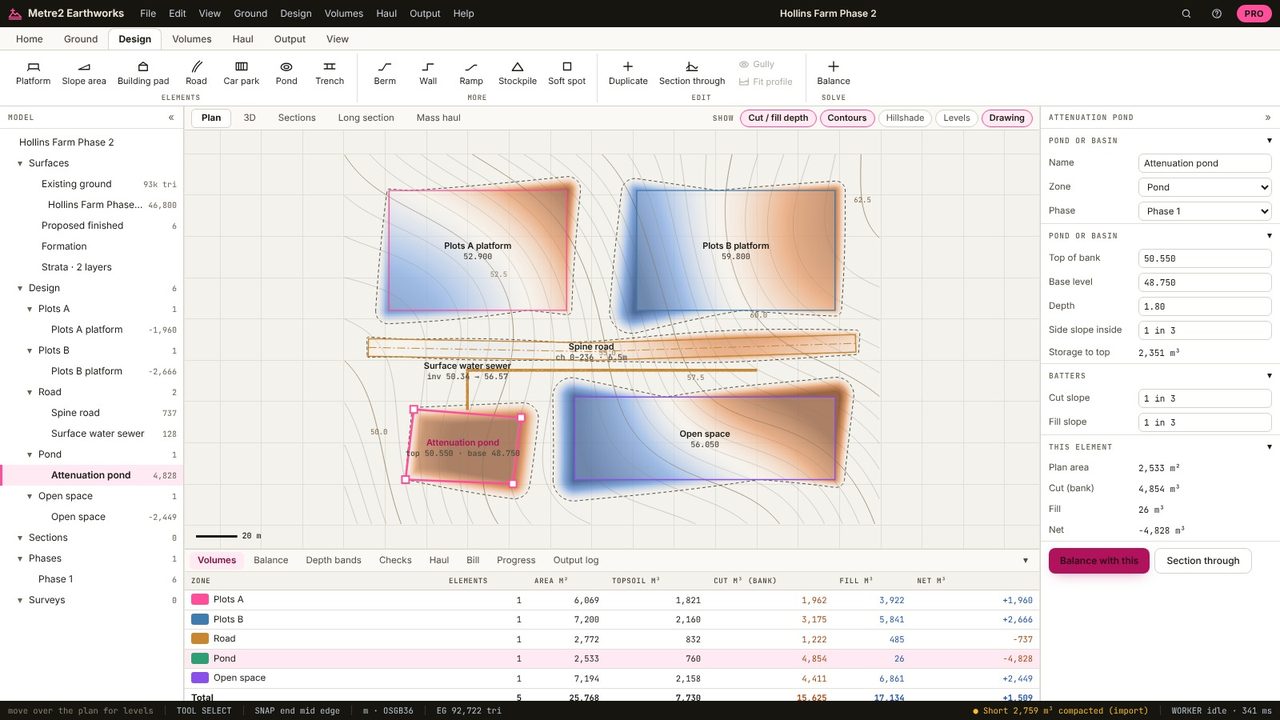
Type the base level (48.20 m here) or a depth.
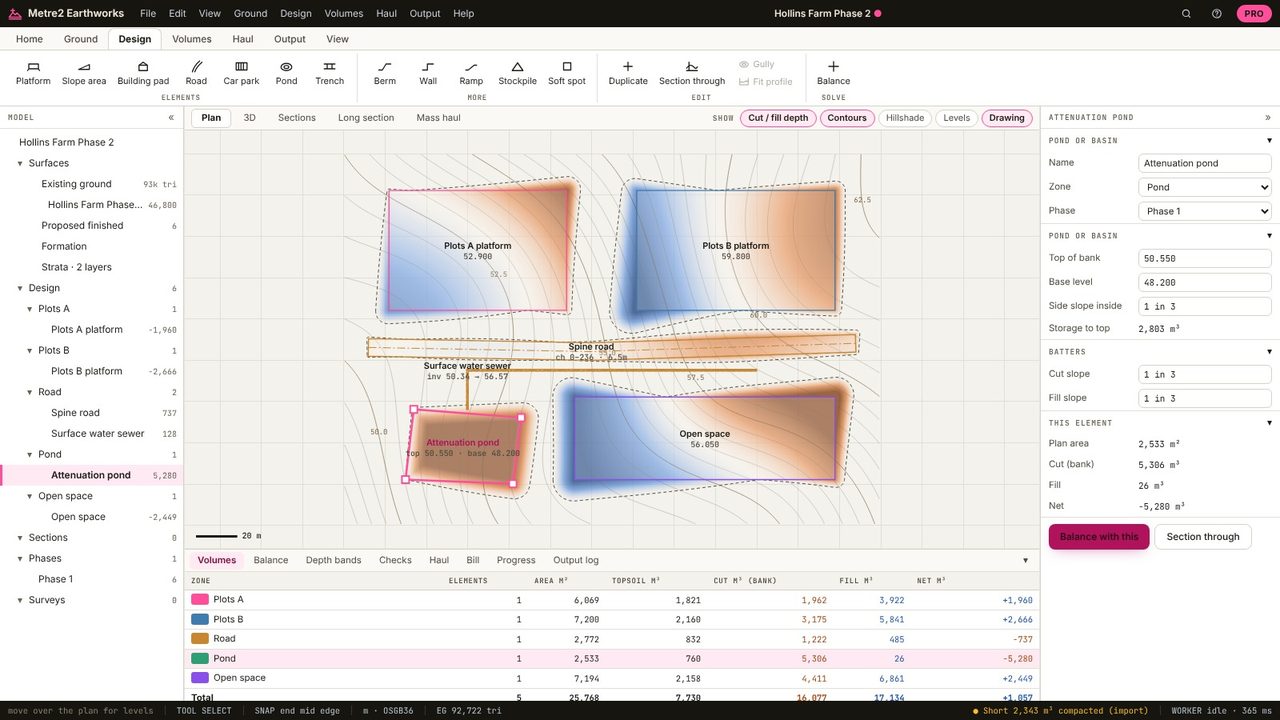
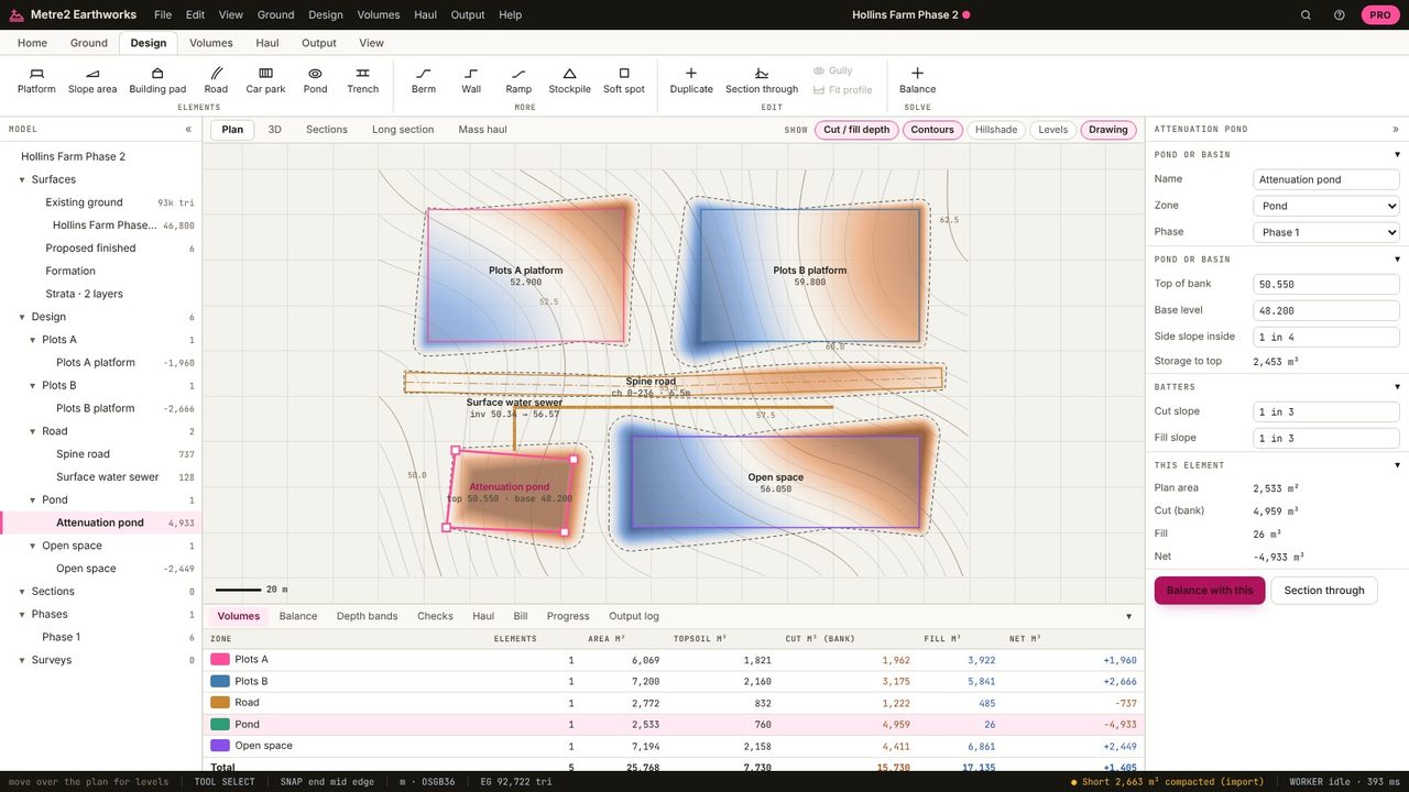
The inside slope: 1 in 4 here. Outside the top of bank, the batters meet the ground at the cut and fill slopes as for any element. Properties give the storage to top by the prismoidal rule, and the excavation is in the volumes.
Section through shows the pond's shape against the ground, here at five times vertical exaggeration.
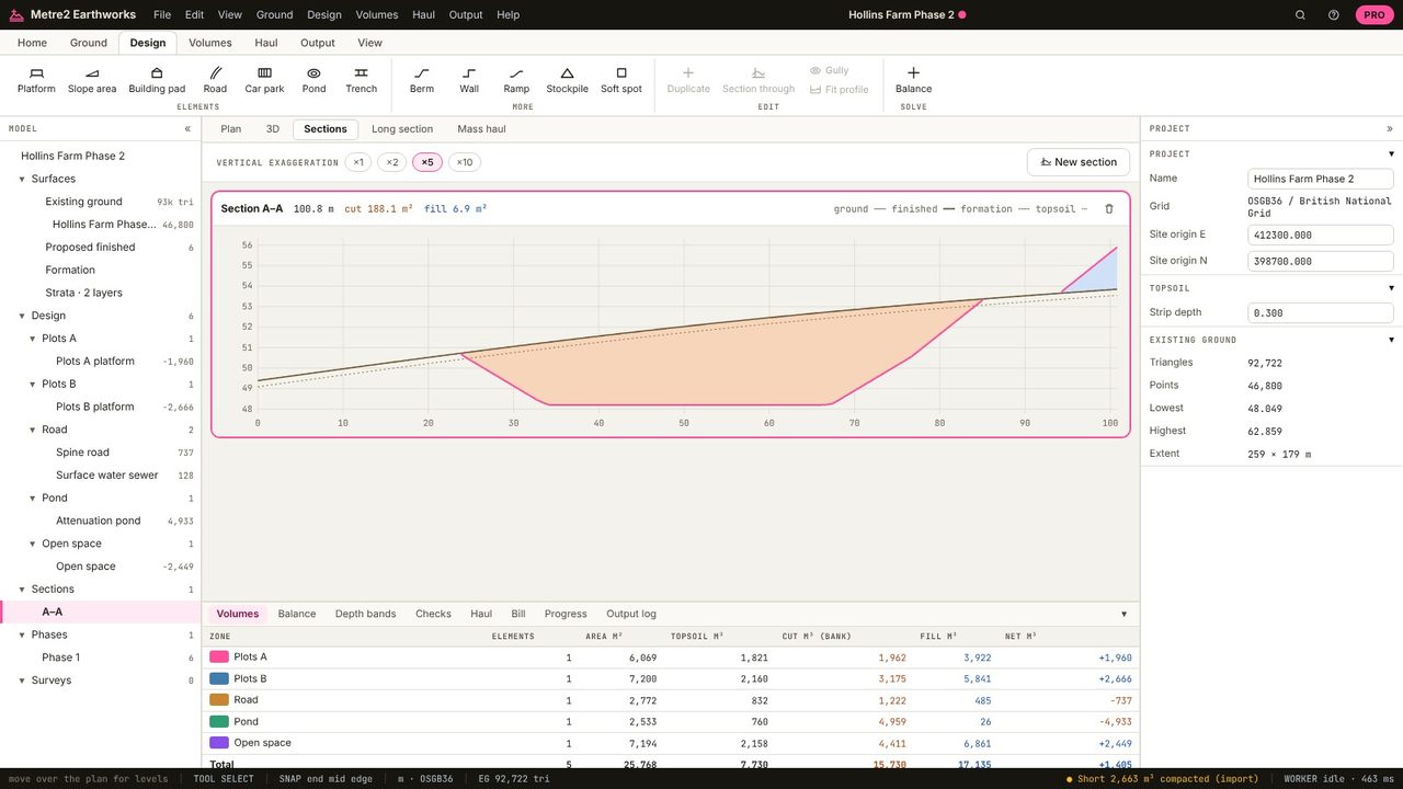
For a pond with sloping sides the prismoidal rule is exact for straight-sided shapes: depth / 6 x (top area + 4 x middle area + base area). Earthworks gives that as storage and integrates the excavation from the surfaces.
1 in 3 or flatter is common for safety and maintenance; check the SuDS Manual and the adopting authority.
Ponds are in Earthworks Pro (£19.99 a month or £179 a year, with a 7-day free trial).
No. Earthworks runs in your browser: survey files, LIDAR tiles and PDF drawings are read on your computer and the project is kept in your browser until you save it as a file.