How-to guide
An interim valuation needs the quantities done since last month. With a survey at each month end, the difference is measured, not guessed. This guide imports two month-end drone surveys of Hollins Farm into Metre2 Earthworks Pro: by 31 December 71.6% of the cut is dug, 8,015 m³ of it in December, valued at £44,865.
Volumes > Survey for each one, with the date it was flown. Here: 30 November (Plots A and the road dug) and 31 December (Plots B and the pond too).
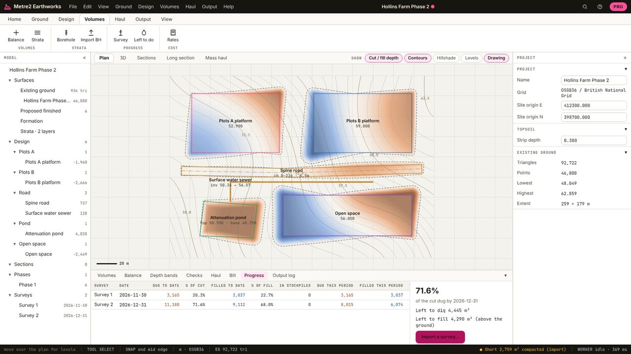
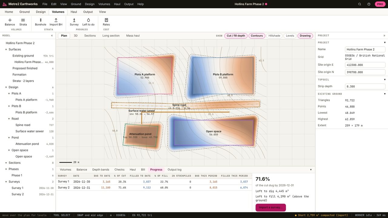
The Progress tab measures each survey against the original ground: dug and filled to date, as a percentage of the design, this period's quantities and their value at your dig and fill rates. December: 8,015 m³ dug and 6,074 m³ filled, £44,865; 71.6% of the cut done.
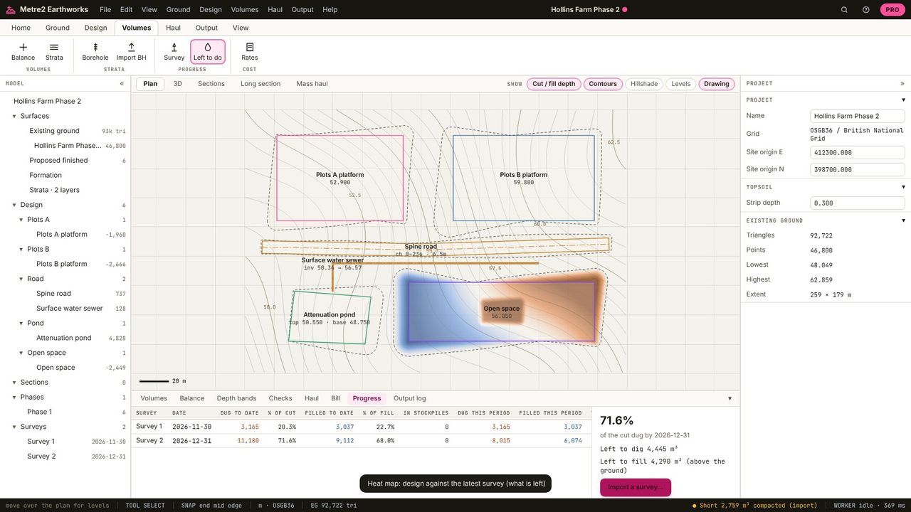
Left to do colours the plan by the design against the latest survey, so the areas still to dig and fill stand out.
By measuring the work done since the last valuation and pricing it at the bill rates. Surveys at each valuation date give the measured quantities.
A surface of the whole works: drone photogrammetry, LIDAR or a GPS rover survey, as points, a grid or a TIN.
Progress surveys and valuations are in Earthworks Pro (£19.99 a month or £179 a year, with a 7-day free trial).
No. Earthworks runs in your browser: survey files, LIDAR tiles and PDF drawings are read on your computer and the project is kept in your browser until you save it as a file.