How-to guide
A drone survey gives the surface of the site as it is, heaps and all. The volume of a stockpile is the space between that surface and the ground it sits on. This guide imports a drone survey of Hollins Farm into Metre2 Earthworks Pro, draws round the topsoil heap on the open space and reads it: 1,382 m³.
Volumes > Survey, give it a name and the date it was flown, then choose the file: points (CSV), a grid (ASC or GeoTIFF from the drone software), LandXML or a LAS point cloud.
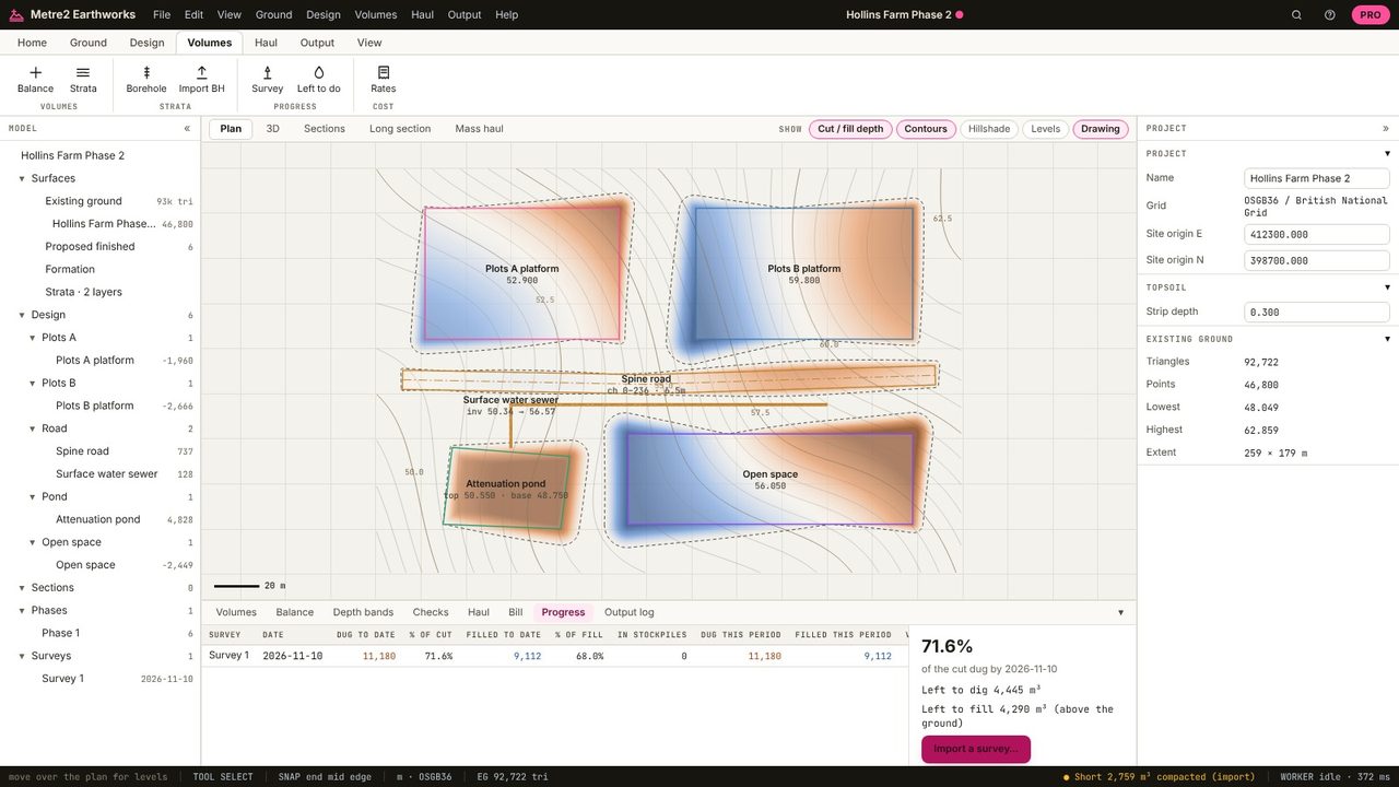
Left to do colours the plan by the design against the latest survey: what's still to dig or fill. The heap shows as material above where it should be.
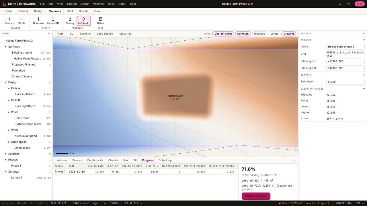
Draw a Stockpile round the heap's footprint (Design tab).
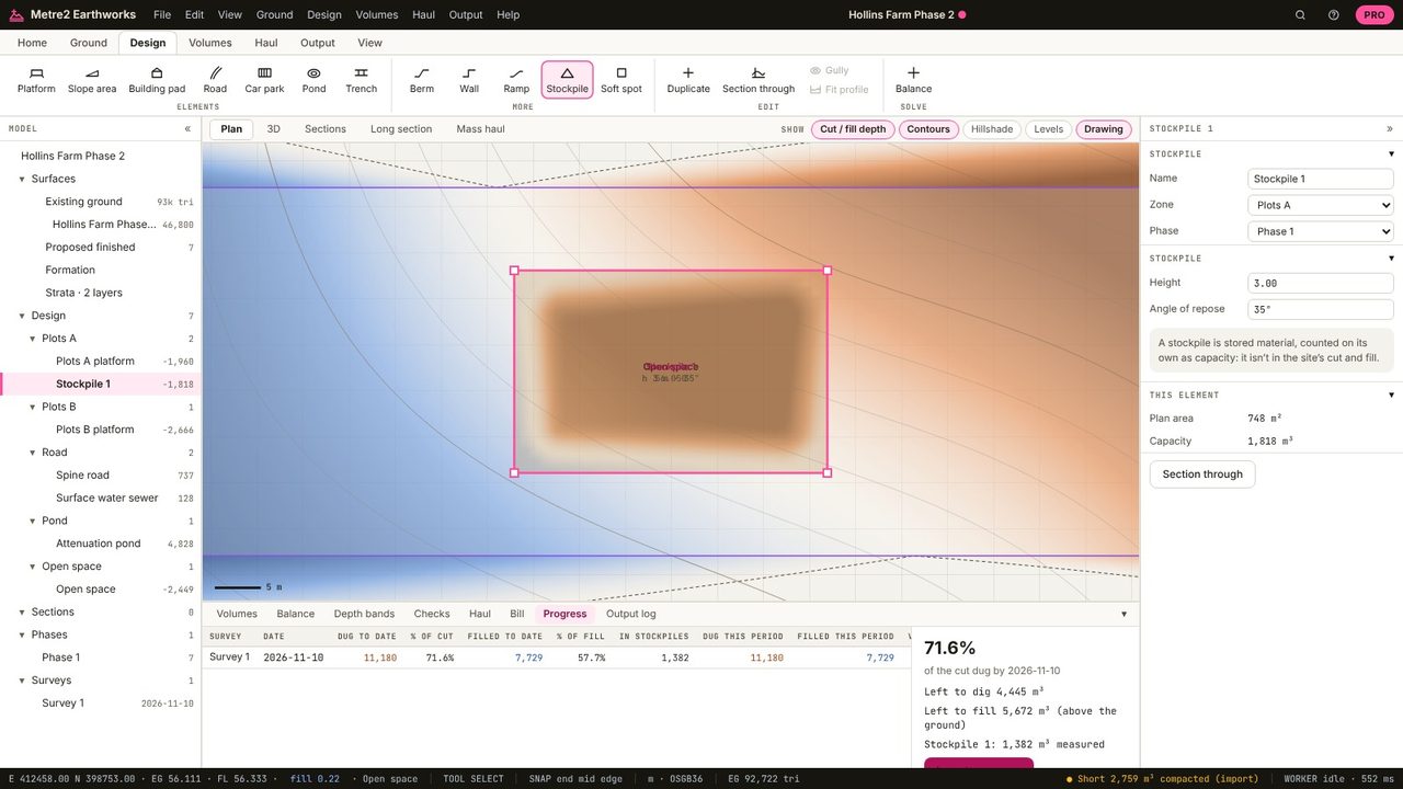
The Progress tab lists each stockpile measured from the survey: the volume between the survey and the original ground inside the footprint, 1,382 m³ here.
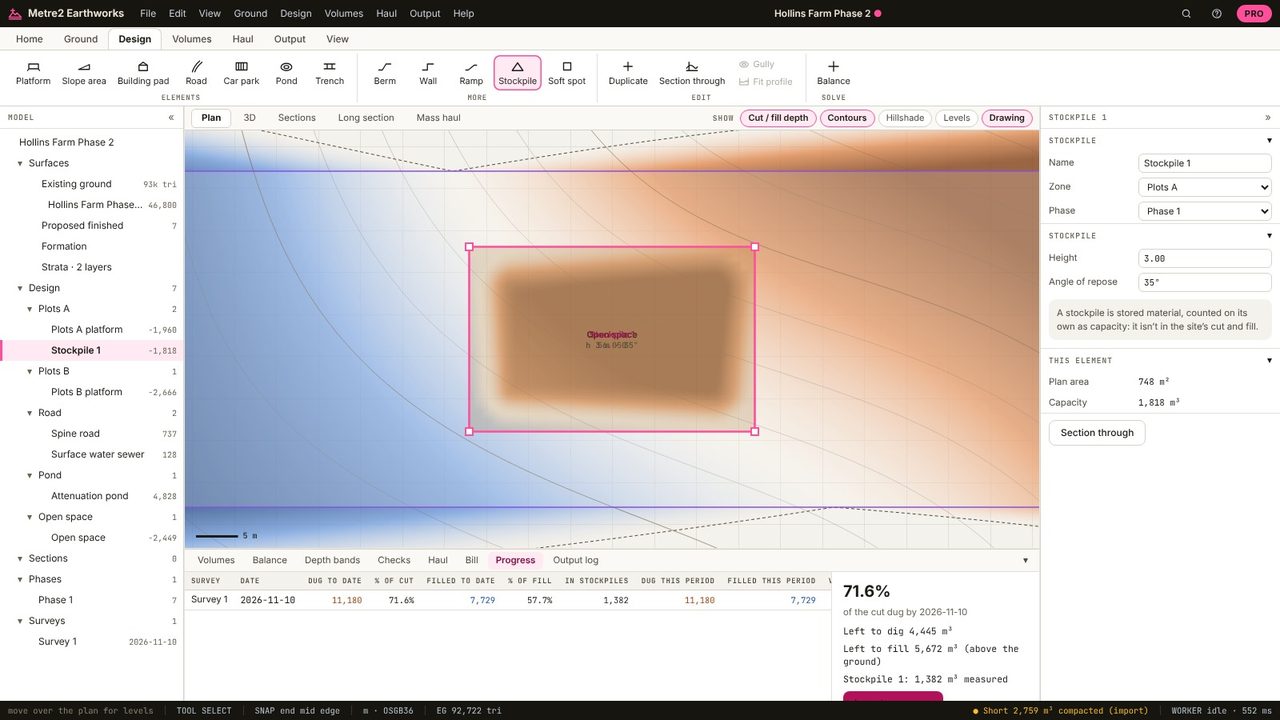
Survey its surface and integrate the height above the ground it sits on. Earthworks takes the original ground as the base and the survey as the top, inside the footprint you draw.
Usually a DSM or DTM grid (GeoTIFF) or a point cloud (LAS/LAZ). Earthworks reads GeoTIFF, ASC, LAS, CSV points and LandXML; save LAZ as LAS first.
Progress surveys and stockpiles are in Earthworks Pro (£19.99 a month or £179 a year, with a 7-day free trial).
No. Earthworks runs in your browser: survey files, LIDAR tiles and PDF drawings are read on your computer and the project is kept in your browser until you save it as a file.