How-to guide
Before there's a topographical survey, the Environment Agency's LIDAR gives you the ground levels of most of England for free: a 1 m grid of levels, called a DTM (digital terrain model, with buildings and trees taken out). It's good to roughly 15 cm, plenty for a feasibility cut and fill. This guide brings a 1 m DTM tile into Metre2 Earthworks, reads levels off it and looks at it as hillshade, contours and 3D.
Download the LIDAR Composite DTM, 1 m for your site from the DEFRA Survey Data download service (it's free under the Open Government Licence). It comes as GeoTIFF or ASC. In Earthworks choose Ground > LIDAR and pick the file, or drop it on the window. Several tiles merge into one.
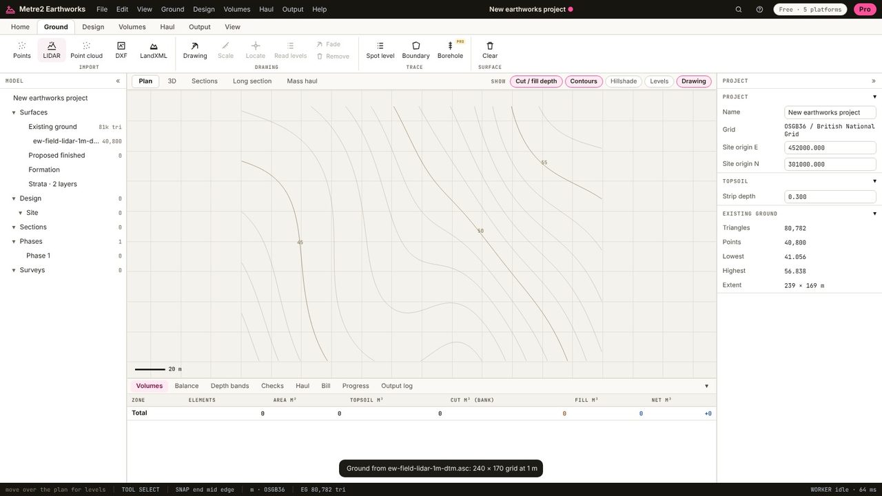
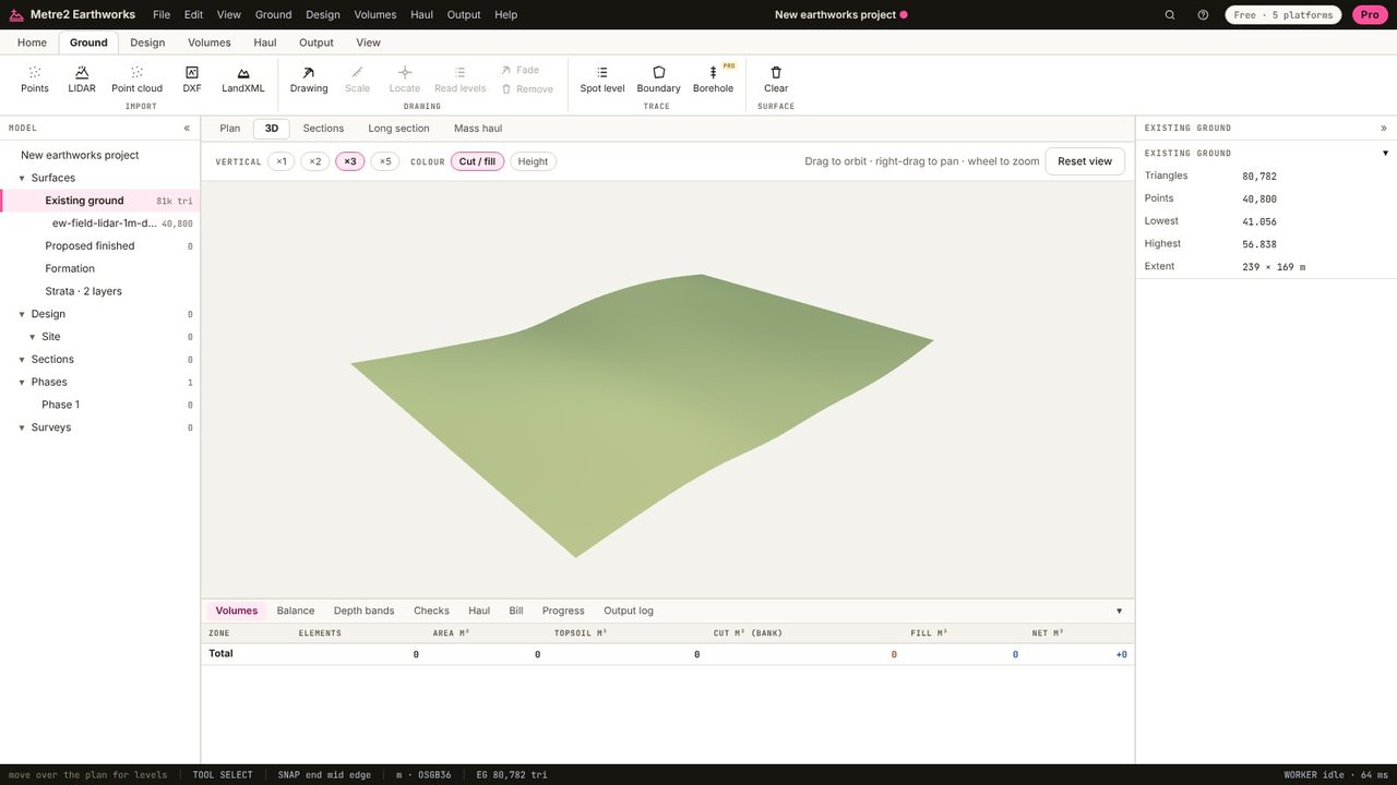
Click Existing ground in the model tree: 80,782 triangles from 40,800 levels on a 1 m grid, with the lowest and highest levels and the extent. Coordinates stay on the British National Grid; Earthworks works from a site origin so the numbers stay small.
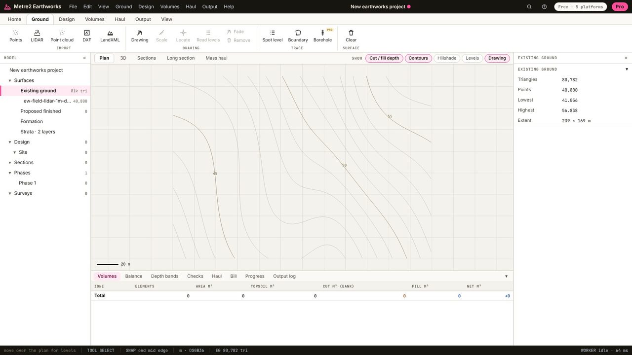
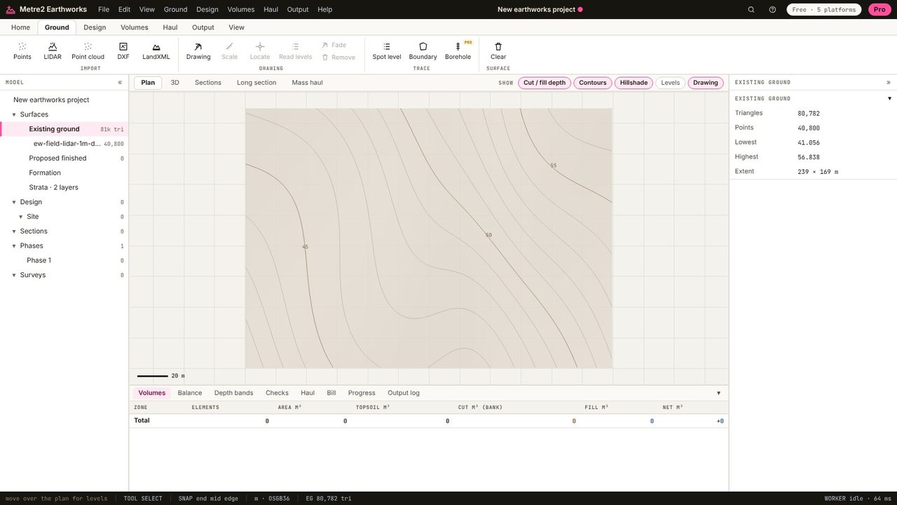
Turn on Hillshade above the plan: the ground lit from the north-west, so valleys, banks and ditches stand out. Contours are drawn at an interval to suit the relief.
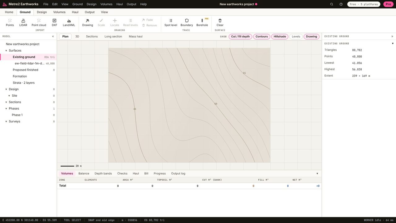
Move over the plan: the status bar gives the easting, northing and ground level under the cursor, to the millimetre the grid allows.
The 3D view shows the ground with exaggeration (here 3 times). Drag to orbit, right-drag to pan, wheel to zoom.
Yes. The LIDAR Composite DTM is published under the Open Government Licence and can be downloaded free from the DEFRA Survey Data service.
The EA quotes a vertical accuracy of about ±15 cm for its LIDAR. That's good for feasibility and early cut and fill; for pricing and setting out, use a measured survey.
Use the DTM (digital terrain model): it's the bare ground. The DSM (digital surface model) includes buildings and trees.
No. Earthworks runs in your browser: survey files, LIDAR tiles and PDF drawings are read on your computer and the project is kept in your browser until you save it as a file.