How-to guide
Numbers are easier to trust when you can see them. A cross-section shows the ground and the design along a line, with the cut and fill shaded; the 3D view shows the whole site at once. This guide draws a 255 m section across the Hollins Farm sample in Metre2 Earthworks, exaggerates it, reads levels along it and then looks at the site in 3D.
Press S (or Home > Section) and click the two ends across the plan. Or select an element and use Section through.
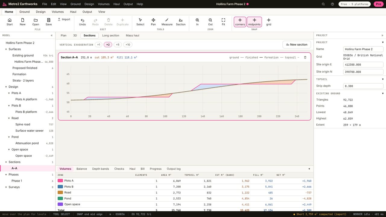
The Sections view draws the existing ground, the finished level, the formation (dashed) and the base of the topsoil, with the cut shaded brown and the fill blue, and the cut and fill areas in m² at the top.
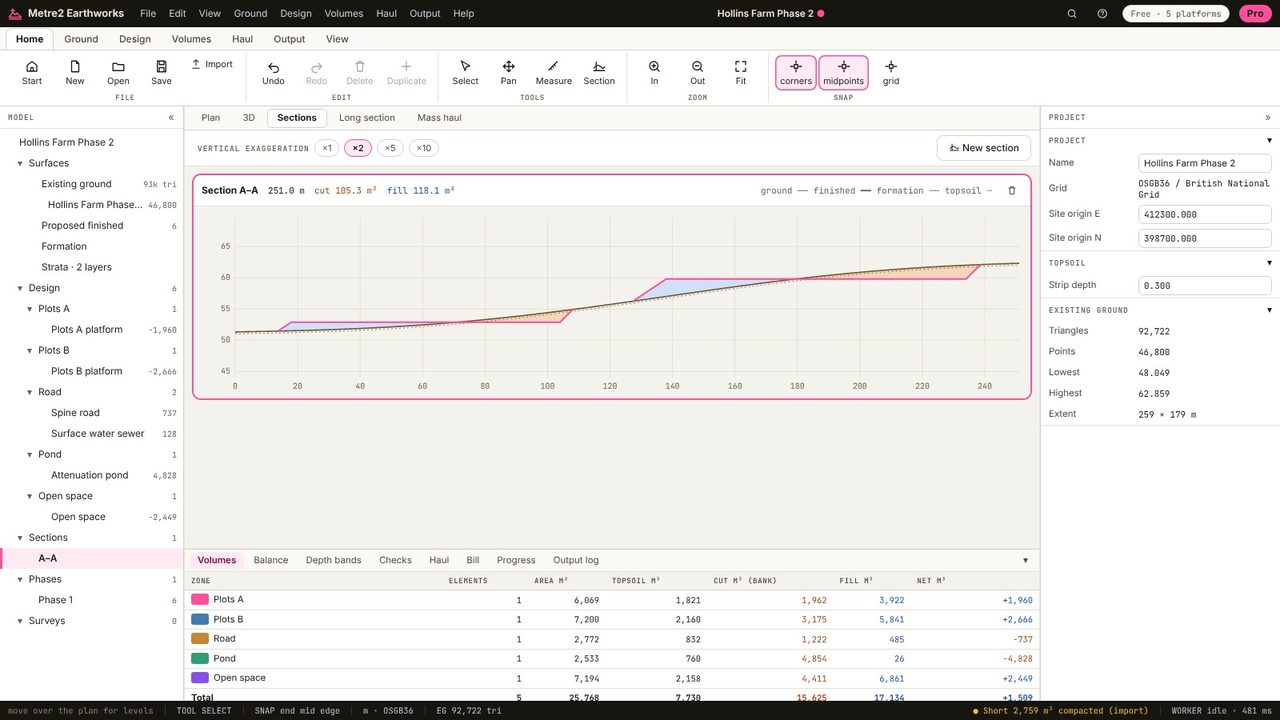
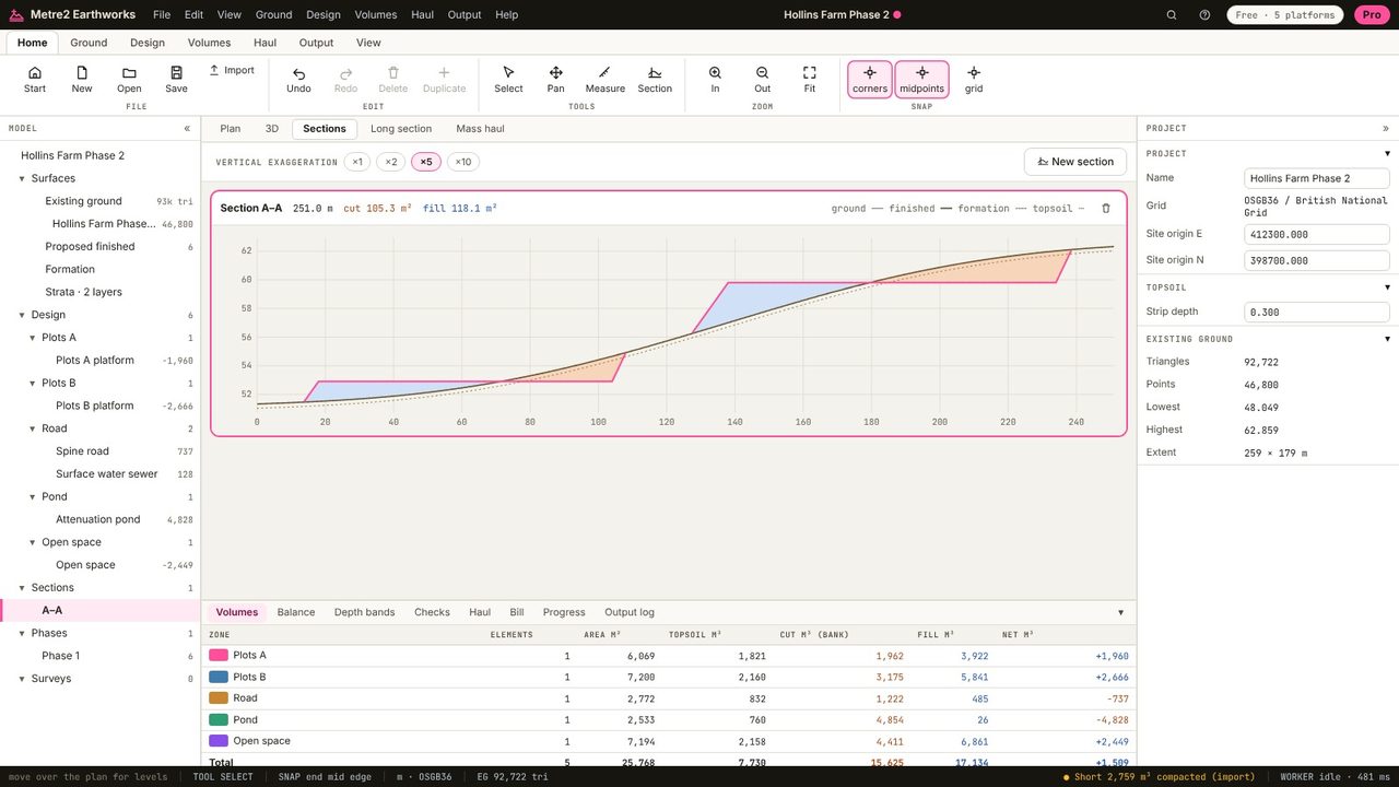
Sites are long and shallow, so sections are drawn with vertical exaggeration: x1, x2, x5 or x10.
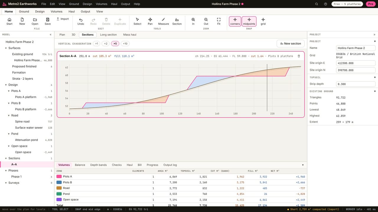
Move along the section: the read-out gives the chainage, the ground level, the finished level and the cut or fill depth, and which element it is.
The 3D view shows the ground with the design on it, coloured by cut and fill depth; switch to colour by height, or exaggerate the levels.
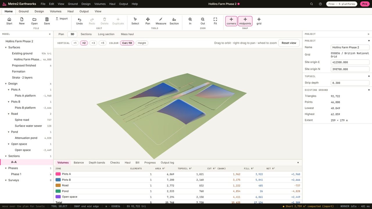
A cut through the site along a line, showing the existing ground and the design levels, with the cut and fill between them. Cross-sections are how cut and fill used to be worked out (average end areas); Earthworks uses them to check, not to calculate.
Level changes of a metre or two over a 200 m site are invisible at true scale. Exaggeration makes them readable; the numbers are unchanged.
Yes. Sections and 3D are in the free version.
No. Earthworks runs in your browser: survey files, LIDAR tiles and PDF drawings are read on your computer and the project is kept in your browser until you save it as a file.