How-to guide
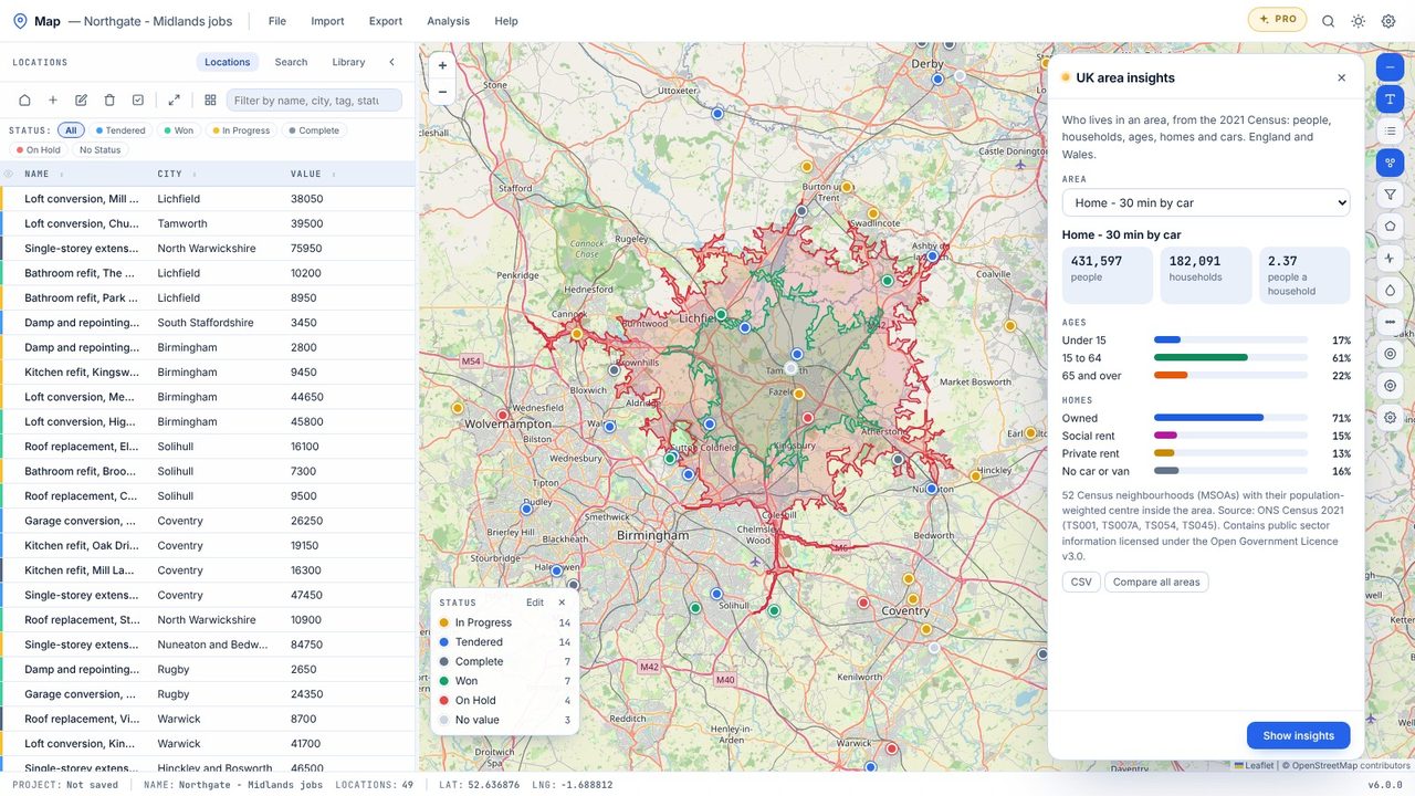
Map Pro draws drive-time areas by road - everywhere you can reach in 15, 30 or 45 minutes from a depot, a yard or a new site - counts how many of your locations fall inside each, and adds up who lives there from the 2021 Census.
Choose Analysis → Drive-time areas, or right-click the map and choose Drive-time area from here.
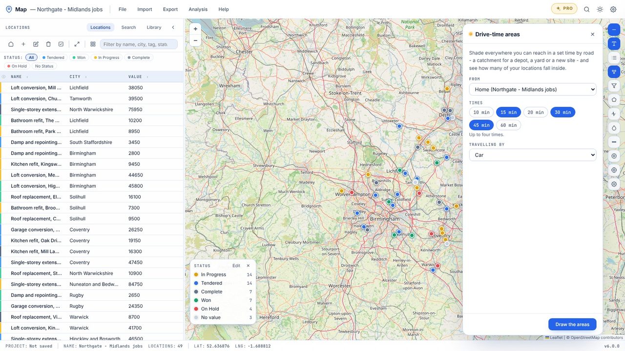
Choose up to four times - 10 to 60 minutes - and how you travel: car, van or lorry, bike or walking. Start from home, the selected locations or a point you click.
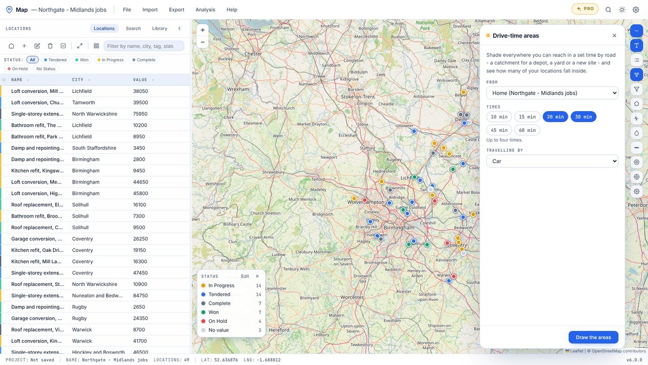
Click Draw the areas. Each time is shaded on the map, nearest first.
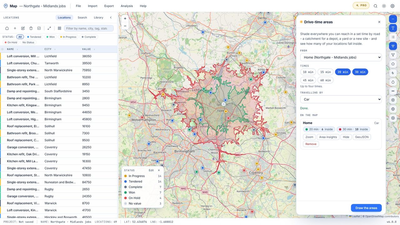
The panel shows how many locations sit inside each area. Export the areas as GeoJSON for other GIS tools.
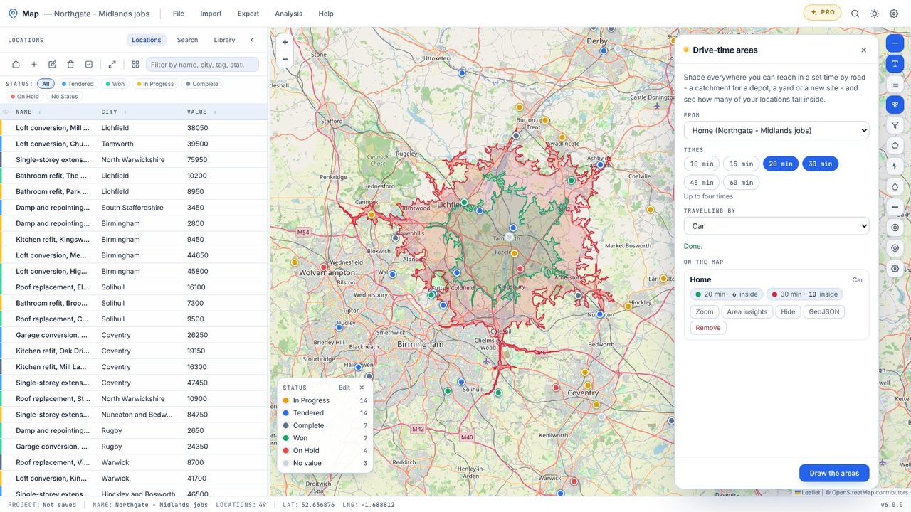
Area insights adds up the 2021 Census for the area: people, households, ages, homes and cars (England and Wales).
Drive-time areas are part of Map Pro, a one-off £19.99 with a free 7-day trial. Map itself is free.
From road routing on OpenStreetMap's road network, worked out on Metre2's server - your locations aren't stored there.
No - drive-time areas and routes need an internet connection. Everything else in Map works offline.