How-to guide
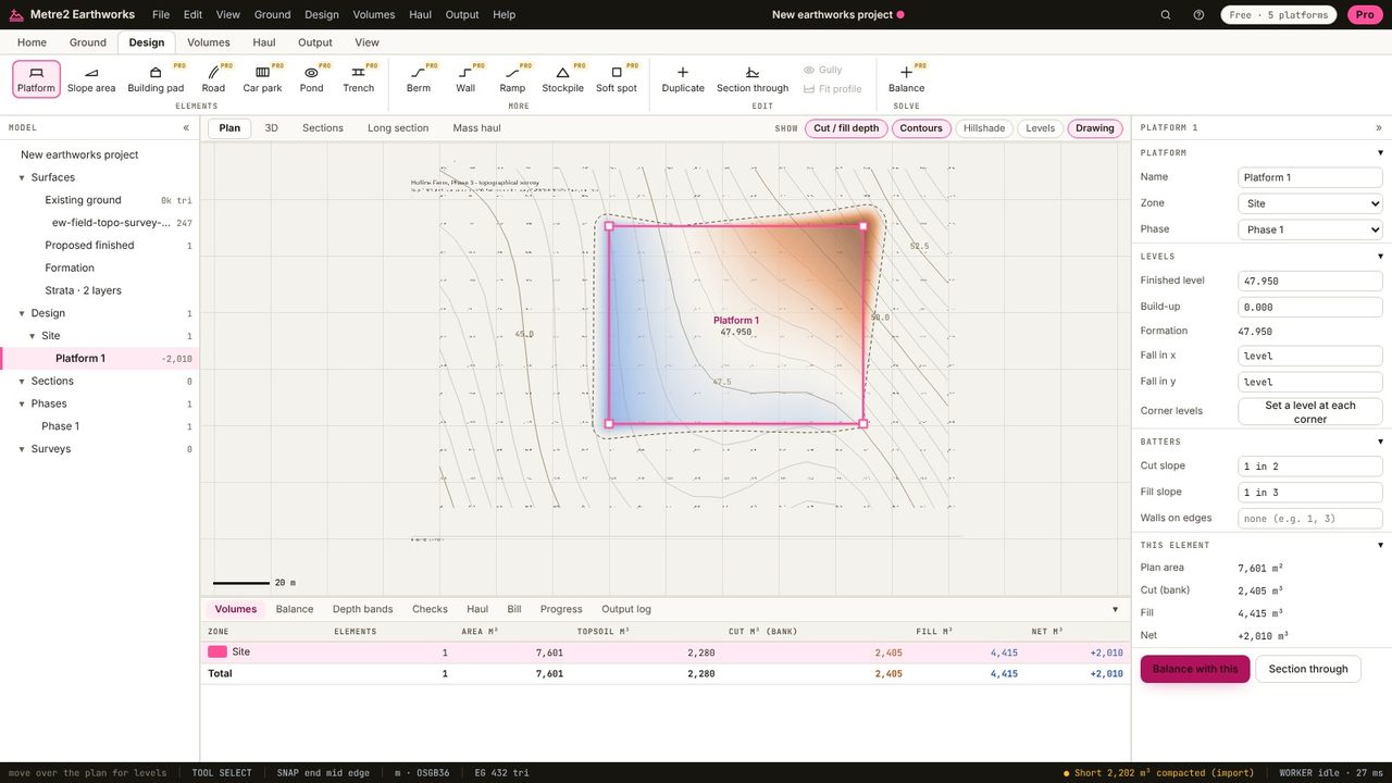
Surveys and layouts often arrive as PDFs, not CAD. A vector PDF still holds the lines and the level text, so you don't have to type every level in. This guide places a 1:500 topographical survey PDF in Metre2 Earthworks, reads its 247 spot levels off the page in one go, draws a platform on it and reads the cut and fill.
Choose Ground > Drawing and pick the PDF (or an image). If it has several pages, choose the plan.
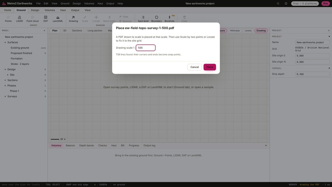
Give the scale it was drawn at - 1:500 here - and it's placed full size. Then Scale by two points a known distance apart if you need to correct it, and Locate by a point of known coordinates to put it on the site grid.
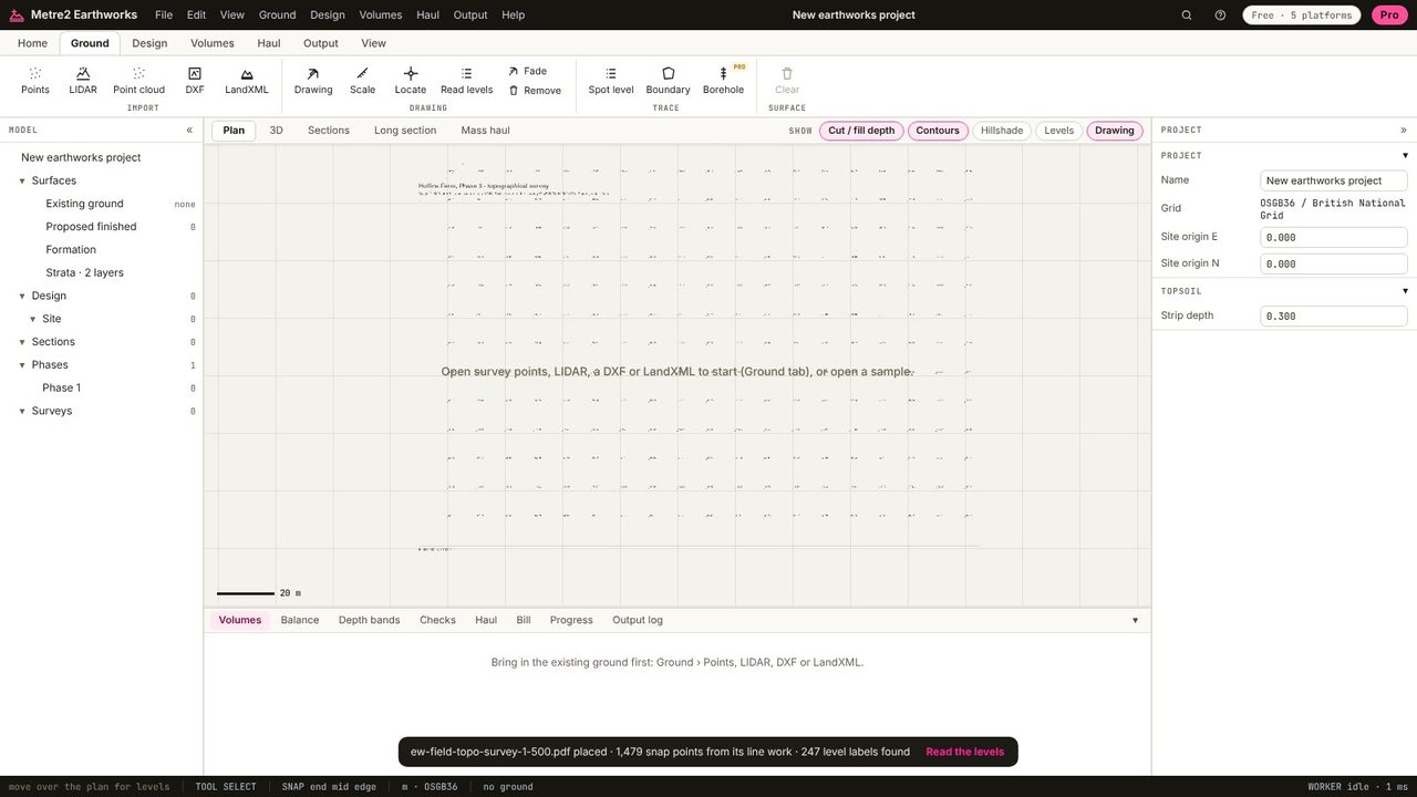
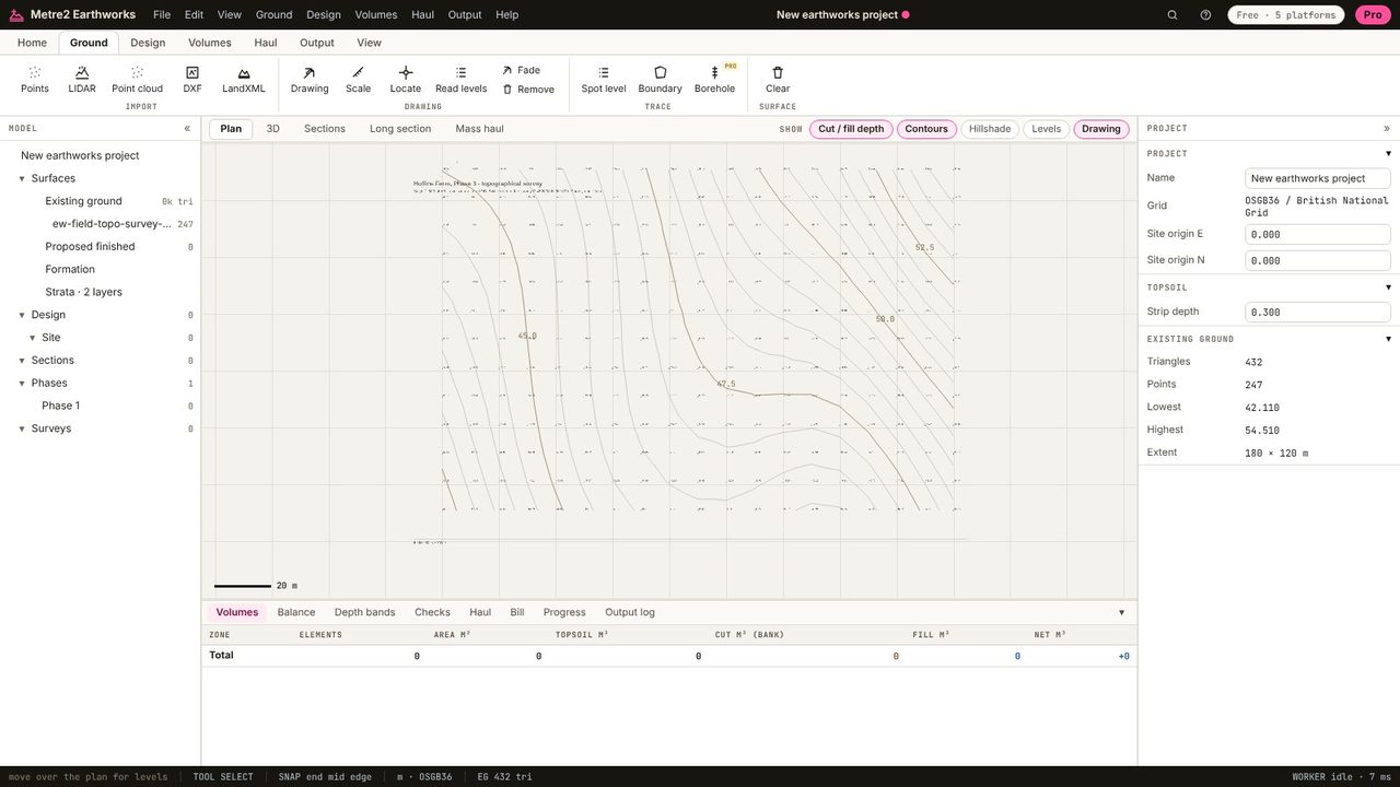
Earthworks reads the PDF's text: Read levels finds every label that looks like a level (45.23, +45.230), keeps the ones in a range you give (leaving out drawing numbers and dimensions) and puts each one on the survey cross next to it. Here: 1,479 snap points from the line work and 247 spot levels, which become the existing ground.
Draw a platform: the cursor snaps to the corners and ends of the PDF's lines, so tracing an architect's layout lands on the real corners.
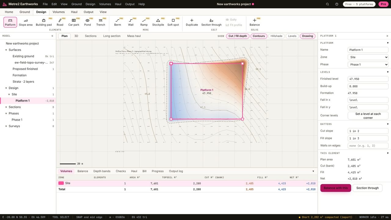
Set the level and read the volumes: 2,405 m³ of cut and 4,415 m³ of fill for this platform.
If it's a vector PDF (exported from CAD), yes: the levels are text on the page. Earthworks reads them with their positions and places each on the survey mark beside it.
The one in the title block (1:200, 1:500). If the PDF was printed to fit, scale it by two points a known distance apart instead.
Yes. PDF tracing and reading levels are in the free version.
No. Earthworks runs in your browser: survey files, LIDAR tiles and PDF drawings are read on your computer and the project is kept in your browser until you save it as a file.